Boulder Car-Free Living Guide to Transit, Trails & Homes
February 5, 2026
February 5, 2026
Thinking about ditching daily driving in Boulder? You’re not alone. With compact neighborhoods, active streets, and a strong trail and transit network, you can cover most of your routine without a full-time car. In this guide, you’ll learn how to get around by foot, bike, and bus, where car-light living works best, and what to look for when house-hunting. Let’s dive in.
Boulder’s city core is compact and connects easily to parks, trails, and services. Longstanding local planning supports walking, biking, and transit, which means you’ll find sidewalks, bike lanes, and off-street paths linking many neighborhoods to downtown and the university.
If you work or study in Boulder, walking and biking are often the fastest way to move around. For regional trips, you have viable options too, including frequent express buses to Denver along the US‑36 corridor often called the Flatiron Flyer.
Downtown Pearl Street, University Hill, and nearby neighborhoods are some of the most walkable parts of Boulder. You’ll find dense clusters of shops, dining, and services along short blocks. The city invests in crossings and ADA access on key routes. In winter, primary sidewalks and routes see more consistent clearing than side streets, so plan your go-to paths.
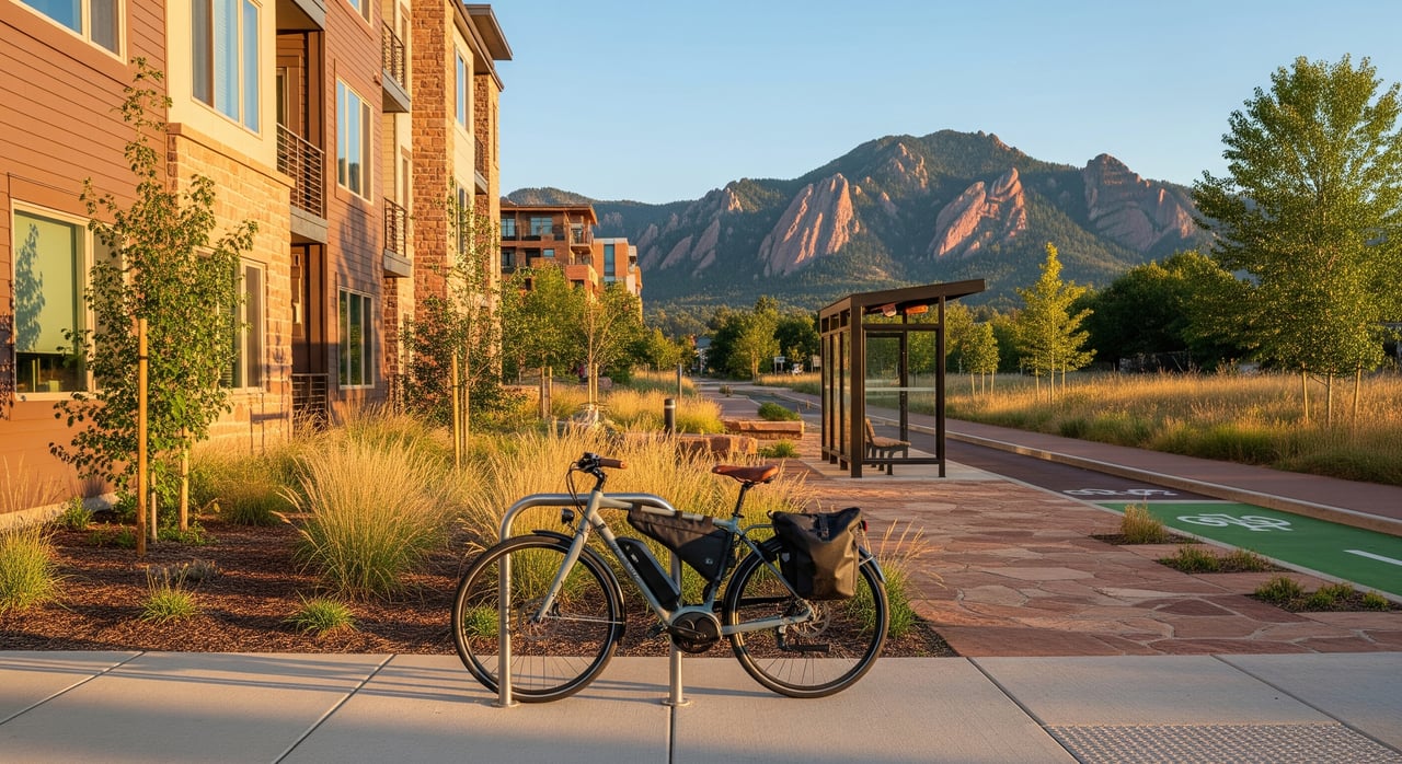
Boulder’s bike culture is strong, and it shows. You have on-street lanes, some protected segments, and a web of multi-use paths that make cross-town riding straightforward.
If you plan to bike commute year-round, choose housing near primary routes that see prioritized snow clearing.
Boulder’s local and regional buses are operated by RTD. Local lines connect neighborhoods to the Downtown Boulder Transit Center, CU Boulder, and shopping hubs. For regional travel, the US‑36 express corridor provides high-frequency service to Denver-area destinations and is a common choice for commuters.
Service varies by route and time of day, with more frequent buses during weekday peaks than late nights or weekends. Many residents combine biking with transit by riding to a Park‑n‑Ride.
Ride-hailing services operate across the city and can fill in last-mile gaps or late-night trips. Carshare and short-term rental programs have been available at times and may vary by operator and city permits, but they can be great for occasional errands that truly require a car. Grocery, meal, and parcel delivery services are widely used by car-light households.
Boulder keeps primary transit routes and major bike paths maintained through winter. That said, snow and ice can affect smaller paths and side streets. If you plan to rely on biking or walking, invest in winter gear, pick well-cleared routes, and allow for extra time after storms.
The right fit depends on your priorities. Do you want walk-out-the-door access to restaurants and errands, or are you trying to be at the trailhead in minutes? Here’s how key areas compare.
In and near downtown, University Hill, and neighborhood centers, you’ll find day-to-day grocery options within a short walk or bike ride. Larger-format supermarkets cluster along auto-oriented corridors, but many are reachable by bus. During the season, the Boulder Farmers’ Market anchors a convenient, car-free way to shop local.
Primary care, urgent care, pharmacies, and dental offices are spread across downtown and neighborhood nodes, and many locations are accessible by transit. Public and private K–12 schools are distributed across the city. If you have school-age kids, check walk and bike routes and key crossings near the homes you’re considering.
For jobs located in Boulder, walking, biking, and local buses are practical and common. If you commute to Denver, many residents rely on express service along US‑36, or combine biking with Park‑n‑Ride. If your job is in a suburb with limited transit, you may still want access to a vehicle or carshare for certain days.
Families often mix modes: walking or biking to school, using bus or shuttle options where available, and planning occasional car trips for activities. Storage for bikes, strollers, and gear matters, so factor that into your housing search.
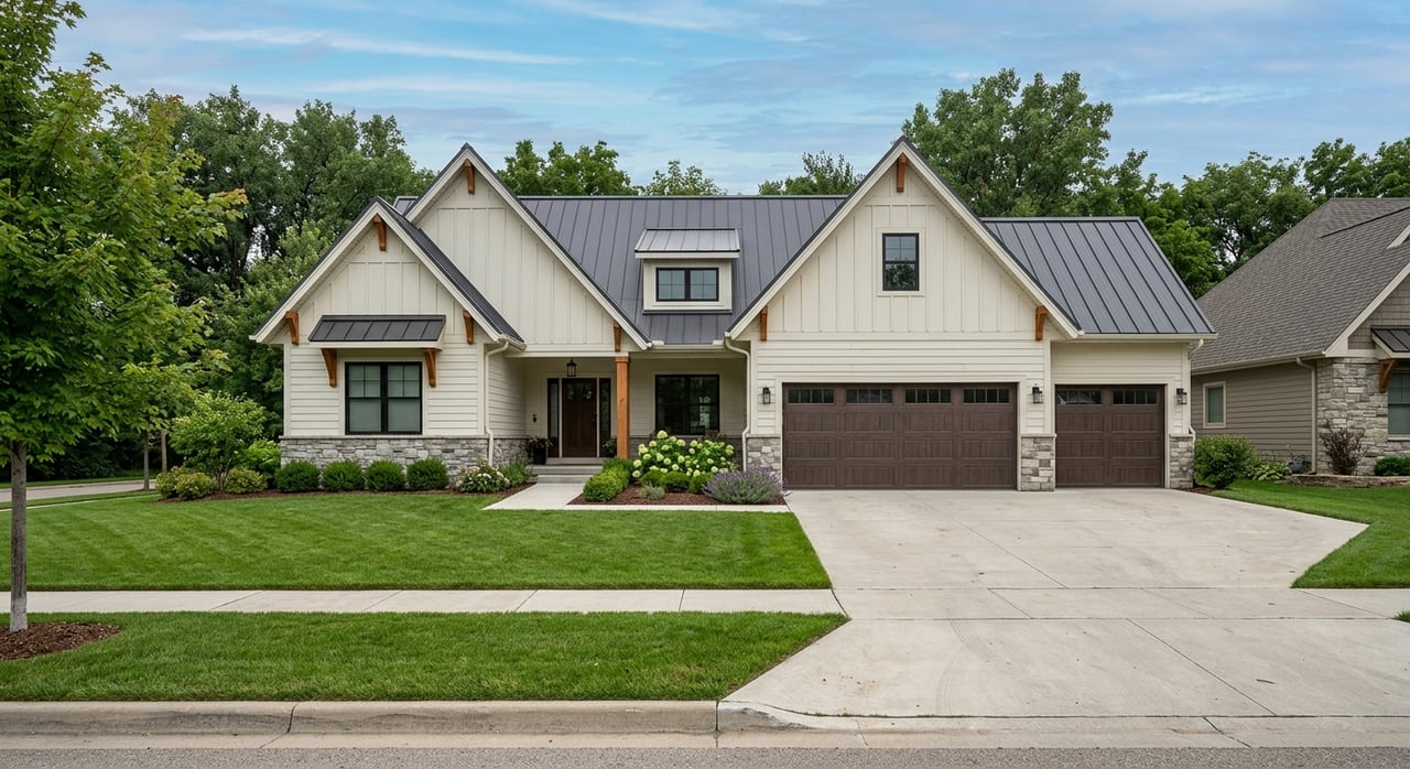
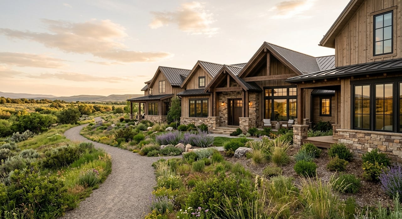
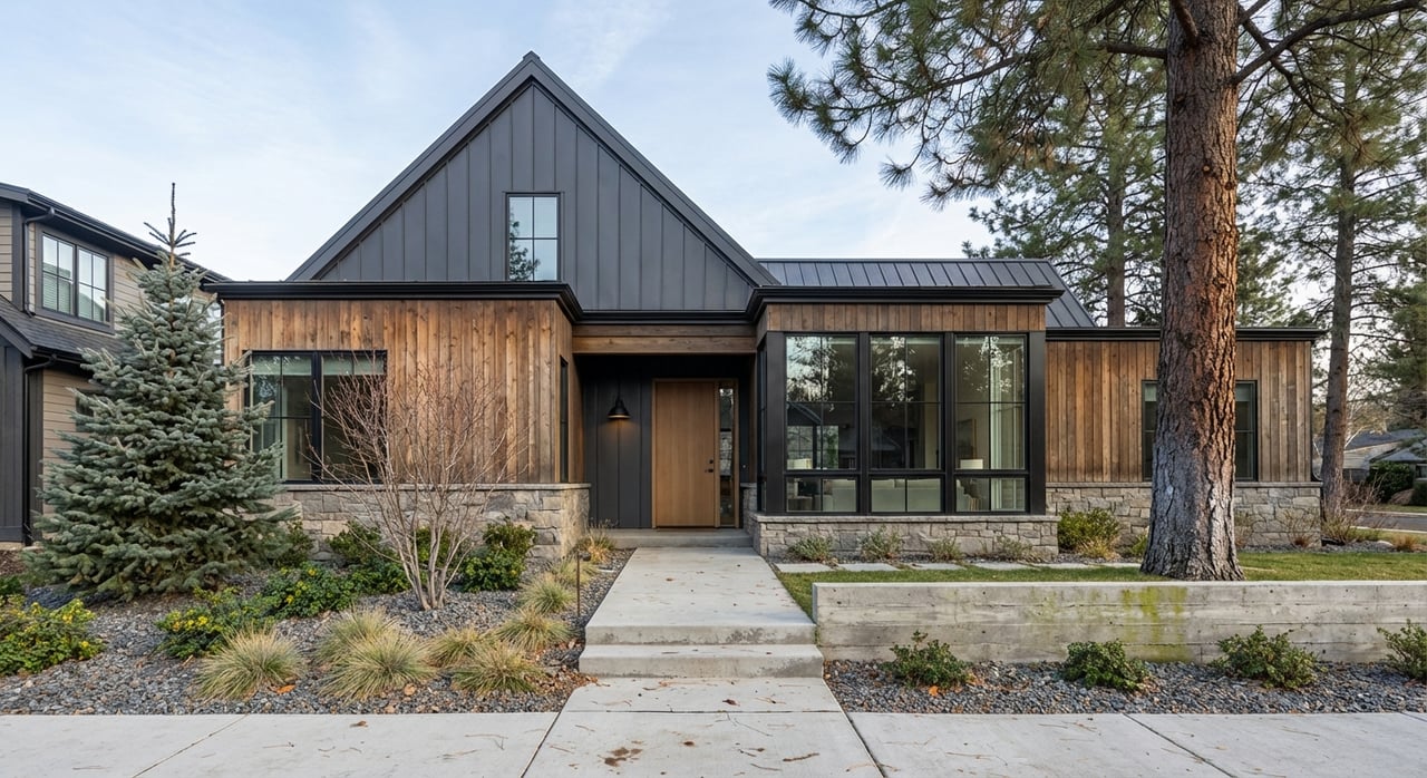
Condos, apartments, and townhomes near downtown or CU Boulder usually offer the strongest car-light setups. Listings may note assigned parking, street permits, or the absence of parking. Single-family homes often include a driveway or garage but can be farther from walkable commercial nodes.
When touring properties, ask about designated parking, street-permit zones, guest parking, and any on-site EV charging or carshare availability.
Central, highly walkable neighborhoods usually command higher prices. If you plan to reduce or eliminate car ownership, consider the savings from insurance, maintenance, fuel, and parking. Those savings can help offset a location premium.
If your job is in Boulder or sits along the US‑36 express corridor, living car-light is easier. For dispersed suburban commutes without strong bus options, plan for periodic car access.
If you expect to bike year-round, prioritize housing near primary multi-use paths and streets that see consistent winter maintenance. Interior bike storage and mudroom space can make day-to-day life simpler.
If you have seniors, young children, or anyone with mobility considerations in your household, verify sidewalk quality, curb ramps, and distances to groceries and healthcare. Not all side streets have the same level of pedestrian infrastructure.
Use this list to compare properties and neighborhoods:
Start by mapping your typical week. Where will you work, shop, and play? If most of your destinations are in or near central Boulder, you can likely go car-light with ease. If you split time between Boulder and the Denver metro, lean on the express bus corridor and consider a location with good bike access to Park‑n‑Ride.
As you compare homes, keep your non-negotiables front and center, whether that’s a short walk to groceries, quick access to the Boulder Creek Path, or dependable bus frequency. If you’re relocating or exploring VA financing, you’ll benefit from clear guidance on neighborhood fit, lending nuances, and daily-life tradeoffs. When you are ready, reach out for a tailored plan that fits your goals and routine.
Looking for a car-light base in Boulder or curious which neighborhoods match your lifestyle and budget? Connect with Terri Gray for a personalized buyer consultation or a free valuation of your current home.
Stay up to date on the latest real estate trends.


Let me know how I may be of assistance to you.