Superior CO Trails Guide to Everyday and Weekend Access
January 15, 2026
January 15, 2026
Imagine stepping out your front door and reaching a creekside path in minutes. If you love biking, running, dog walks or weekend hikes, living in Superior puts everyday open space within easy reach. In this guide, you’ll learn how local neighborhoods connect to trails, where residents go for quick outings or bigger adventures, and what to know seasonally. You’ll also get a buyer-focused checklist to help you choose the right home near the paths you’ll use most. Let’s dive in.
Superior sits at the eastern edge of the Front Range foothills, so you get a small-town feel with quick access to municipal paths and county and state open space. The town’s trail system acts as a feeder network, linking neighborhoods to the Coal Creek corridor and beyond. This setup makes it possible to walk or bike to daily routes and save the car for bigger weekend destinations in the foothills.
You’ll find a mix of paved multi-use corridors, short natural-surface connectors and access by car to more rugged terrain. That variety supports different routines, from family rides to technical mountain biking and scenic hikes.
The Coal Creek corridor is a paved or compacted multi-use route that parallels Coal Creek across Superior and into Louisville. It is ideal for commuting, stroller-friendly walks and family rides. Many neighborhoods connect directly to this path. You can expect a 5 to 20 minute bike ride or a 2 to 10 minute drive to nearby access points, depending on where you live.
Town-maintained connectors link subdivisions, parks, schools and shops to regional trails. These include sidewalks, multi-use paths and short natural-surface links. If you live near the town center or in newer neighborhoods, you can often reach a path within a 5 to 15 minute walk. These routes work well for daily errands, after-dinner strolls and quick fitness loops.
Marshall Mesa and the South Boulder Creek area offer broad, mostly flat trails with big views. They are popular for relaxed rides, training runs and dog walking. Typical access is a 10 to 20 minute drive from Superior. Always follow posted leash rules and be ready for busy parking areas on fair-weather weekends.
Walker Ranch delivers classic foothill singletrack, scenic loops and more technical terrain for hikers, runners and mountain bikers. It is usually a 10 to 25 minute drive from Superior, depending on the trailhead and traffic. Parking often fills early on weekends, so plan ahead if you want a morning start.
Eldorado Canyon features steep, scenic trails and world-class climbing. Expect a roughly 15 to 30 minute drive from Superior. This is a Colorado State Park, so vehicle day-use fees apply and parking is limited at popular trailheads. If you prefer quieter times, aim for midweek mornings or off-peak seasons.
Paved and mixed-surface corridors connect Superior to Louisville, Boulder and Broomfield. Many residents use these routes for point-to-point rides and bike commutes. Ride times vary widely by destination and fitness, ranging roughly from 15 to 60 minutes for common trips.
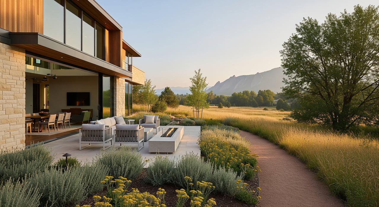
If you want the easiest day-to-day access, central and town-center neighborhoods put you near paved paths, parks and shops. You can often walk or bike directly to municipal connectors and the Coal Creek corridor for errands or quick workouts.
Homes near the Coal Creek corridor and the Lee Gulch or Rock Creek areas usually have short, direct links to multi-use trails. This setup helps if you plan to bike for errands or prefer low-stress family rides right from home.
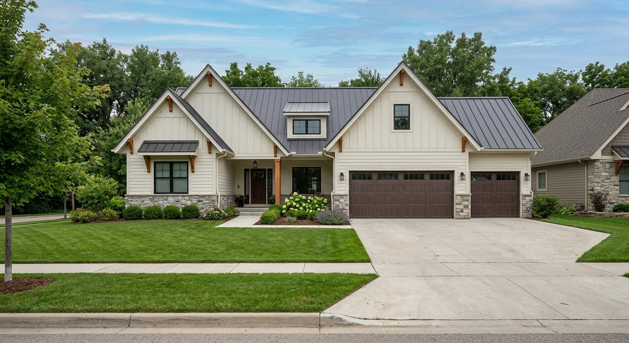
Newer communities often include built-in greenway links, pocket parks and planned connectors. If you value safe, predictable routes to schools, fields and paths, these neighborhoods make daily outdoor time convenient.
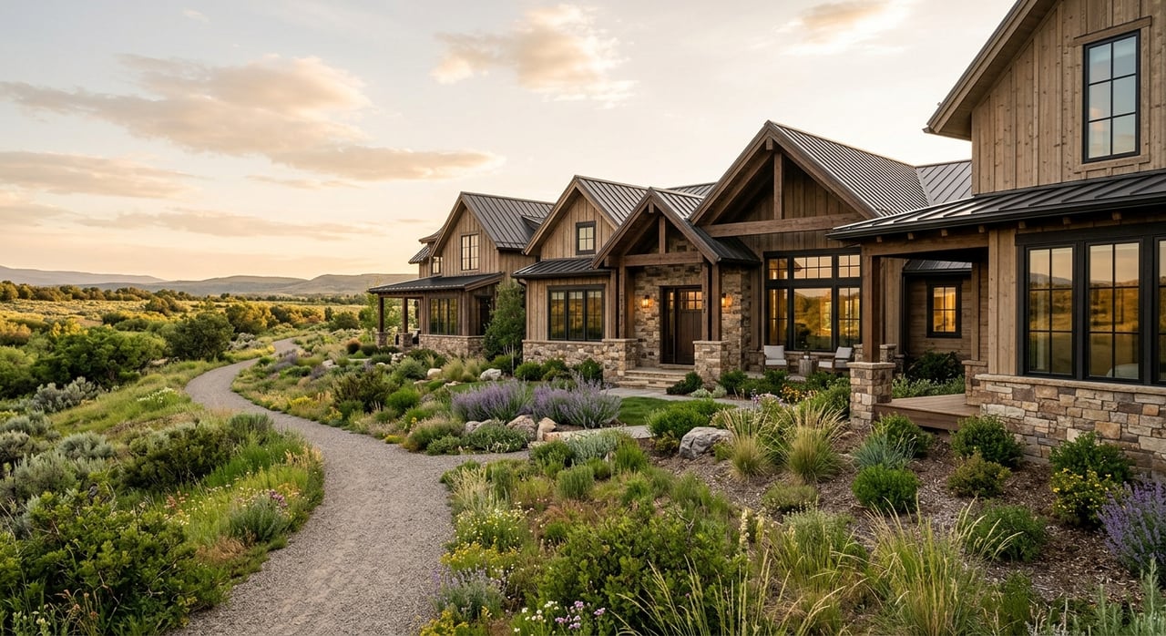
On the southern and western edges of town, you are closest by car to foothill trailheads. If your weekend routine leans toward longer hikes, mountain biking or technical terrain, these locations reduce your drive time.
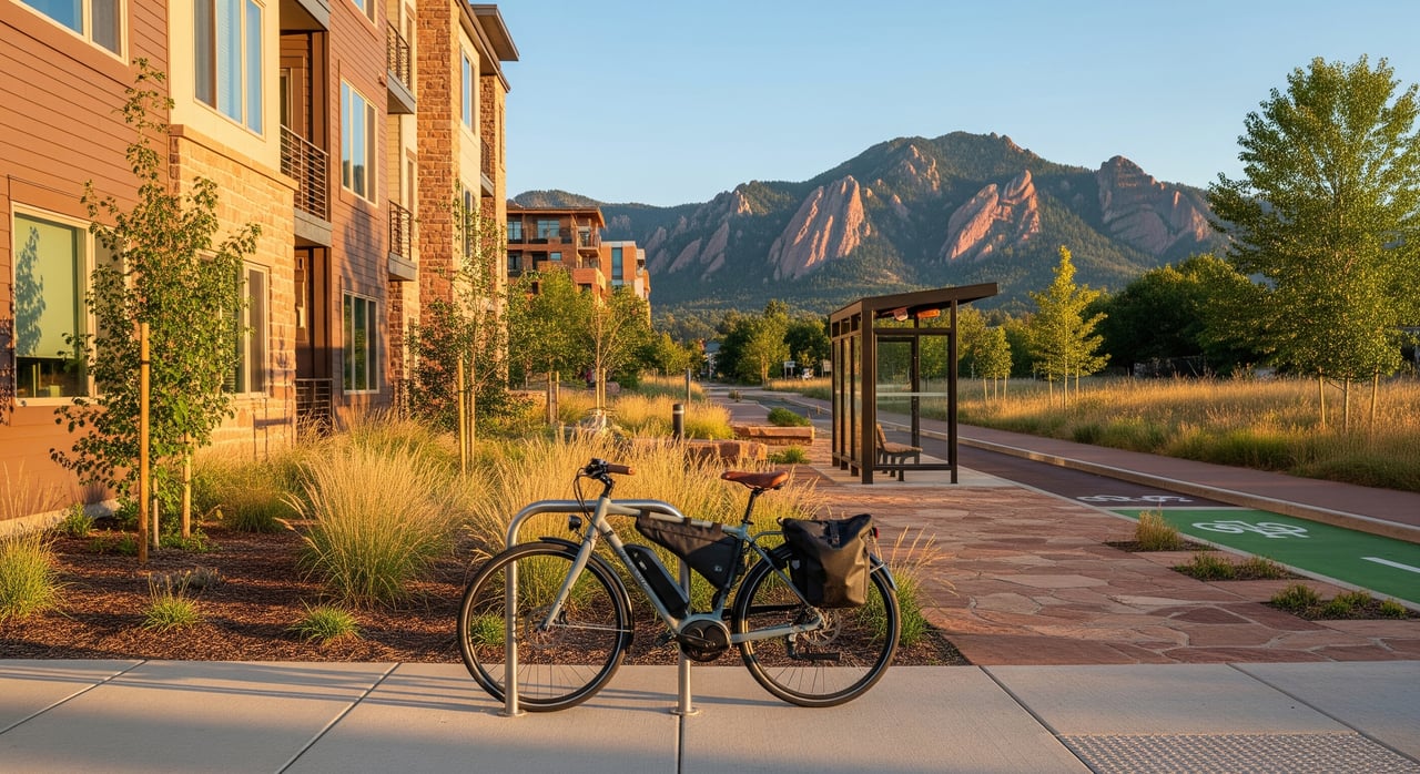
When weather allows, many residents use paved paths for short errands and bike commutes to nearby downtowns. You can often combine on-street bike facilities with multi-use corridors for a low-stress ride.
Morning runs and after-work spins on local paths are part of the routine for many households. The smoother, flatter corridors are suitable for strollers and casual riders, while more rugged options are a short drive away.
Popular trailheads can fill up quickly on weekends. Some residents prefer neighborhood access points to avoid crowded lots. Homes directly on busy paths may experience more foot and bike traffic. If you are buying, check HOA and local rules for sidewalk use, bike storage and access to adjacent greenways.
Natural-surface trails often turn muddy in spring. Runners and riders should respect seasonal closures to protect trail surfaces. If conditions are soft, choose paved corridors instead.
Paved paths are often usable in winter, but higher foothill trails may hold snow and ice. Carry traction if you plan to hike steeper routes and be ready for changing conditions.
Regional open space may have wildlife encounters and seasonal restrictions. Follow posted guidance and fire restrictions during dry periods. Always know the leash policy where you are headed and obey signage.
Expect the heaviest use on weekends and late afternoons in good weather from April through October. If you want quieter outings, try weekday mornings or winter months when conditions allow.
If trail access is a top priority, you deserve a real estate partner who understands how daily routes and weekend destinations shape your lifestyle. With deep Boulder County knowledge, lending fluency and relocation support, you can match your home search to the routines you value most. For veteran buyers, guidance on VA financing and appraisal issues can make a big difference in a competitive market.
Ready to explore neighborhoods that fit your life outside the car? Connect with Terri Gray for a personalized plan that aligns trail access, commute options and your long-term goals.
Stay up to date on the latest real estate trends.

Let me know how I may be of assistance to you.